6 Days 5 Nights
Daily Tour
13 people
Dehradun
Kedar Tal, also known as Shiva’s Lake, is a pristine glacial lake, tucked away in the mystical folds of the Garhwal Himalayas of Uttarakhand. This enchanting trek is a spectacular journey for serious trekkers seeking both spiritual serenity and untamed Himalayan wilderness. Rising to a staggering altitude of 4,750 meters (15,580 ft), the trek takes you to Kedar Tal – a glacial lake with surreal reflections of Thalay Sagar, a jagged and revered peak that stands like a celestial sentinel beside it.
The lake is fed by the Kedar Glacier, and is believed to be the origin point of Kedar Ganga, a tributary of the Bhagirathi river and, in local lore, the river that Lord Shiva gifted to Bhagirath. The trek begins at Gangotri (3,048 m), one of the Char Dham pilgrimage sites, imbuing the journey with a sacred aura.
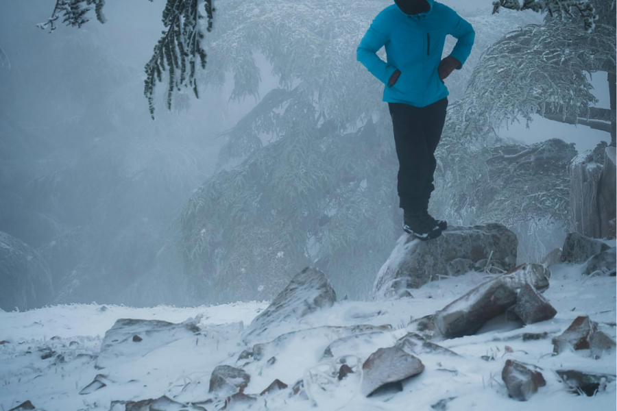
Expect narrow ridges, vertical climbs, craggy boulders, and alpine meadows blooming with Himalayan flora. This trail is for the mountain-hearted—those who seek adventure not in comfort but in challenge, not in the crowd but in the calm.
The Kedar Tal Trek is more than a high-altitude hike—it’s a sacred odyssey into Shiva’s domain, where each footstep is accompanied by silence, snow, and the whisper of ancient myths. It’s for those who are ready to walk the narrow edge between physical endurance and spiritual reward.
Whether you’re chasing peaks or peace, Kedar Tal will meet you halfway.
Best Time to Do the Kedar Tal Trek
Avoid the monsoon season (July–August) due to landslides and slippery conditions.
Distance: 270 km
Drive Time: 9–10 hours
Altitude Gain: ~2,500 meters
Overnight Stay: Hotel in Gangotri
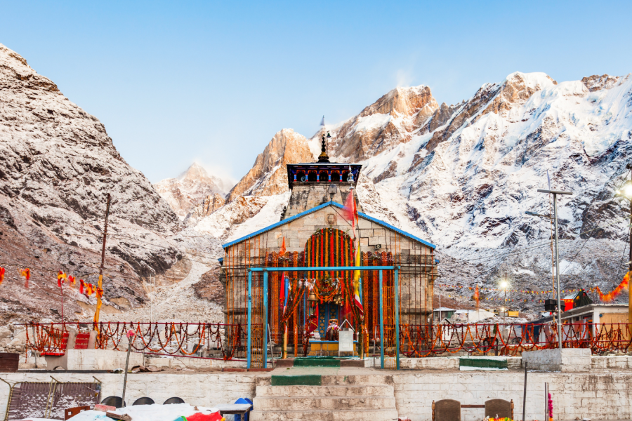
The road to Gangotri is a journey in itself. It winds through the spiritual city of Uttarkashi, past cascading waterfalls, emerald pine forests, and deep river valleys carved by the Bhagirathi. As you ascend, the air becomes crisper and the spiritual energy denser. Upon arrival in Gangotri, visit the Gangotri Temple, dedicated to Goddess Ganga, and stroll along the sacred riverbanks.
Tip: Acclimatization begins here. Hydrate frequently and avoid overexertion.
Trek Distance: 8 km
Trek Duration: 5–6 hours
Elevation Gain: ~700 meters
Terrain: Steep ascents, forest trails, rocky patches
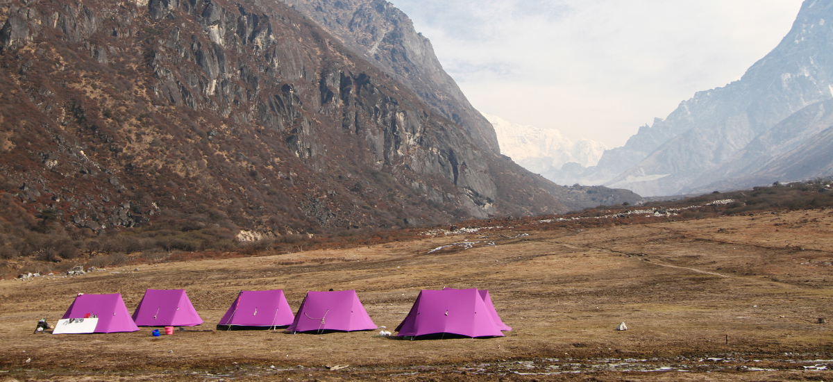
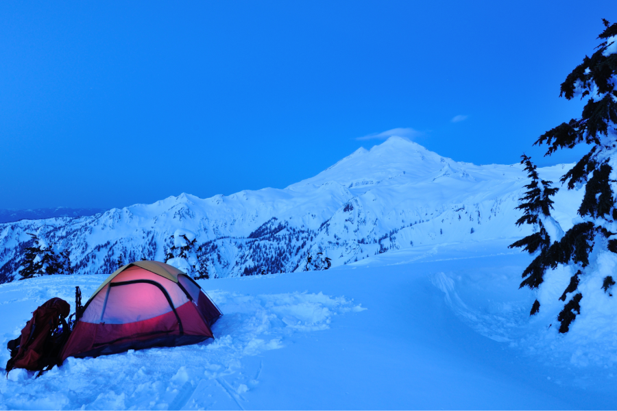
Stay: Tent camping
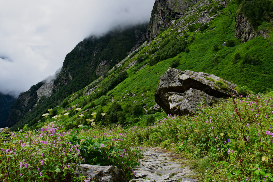
Today’s trek begins right from Gangotri, following the gurgling Kedar Ganga. The path is steep and narrow, with the river roaring beside you as you ascend through dense deodar and silver birch forests. The trail gets its name from the Bhojpatra trees, whose bark was once used as writing material in ancient India.
Along the way, watch for Himalayan langurs leaping between branches and hear the distant call of the Himalayan monal. Bhoj Kharak is a narrow camping ground, surrounded by towering ridges and the rhythmic chants of nature.
Challenge: This day includes boulder hopping and narrow ledges—balance and concentration are key.
Trek Distance: 5 km
Trek Duration: 4–5 hours
Altitude Gain: ~500 meters
Terrain: Gradual ascent through moraine and alpine meadows
Stay: Tented campsite
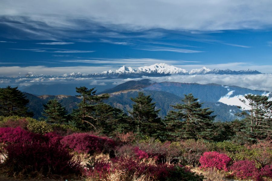
You rise early and continue the ascent, crossing sections of rockfall and loose gravel. Gradually, the forest thins out and you step into an open valley blooming with Himalayan wildflowers like blue poppies, saxifrages, and brahma kamals. The air here feels thinner but fresher—your lungs begin to adjust to the height.
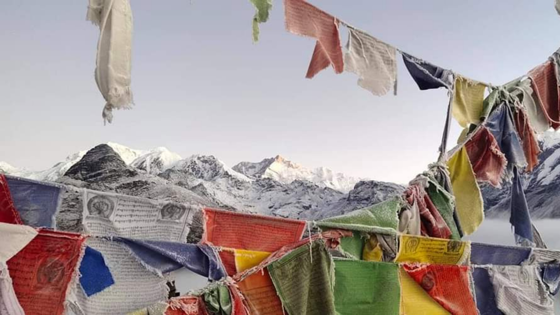
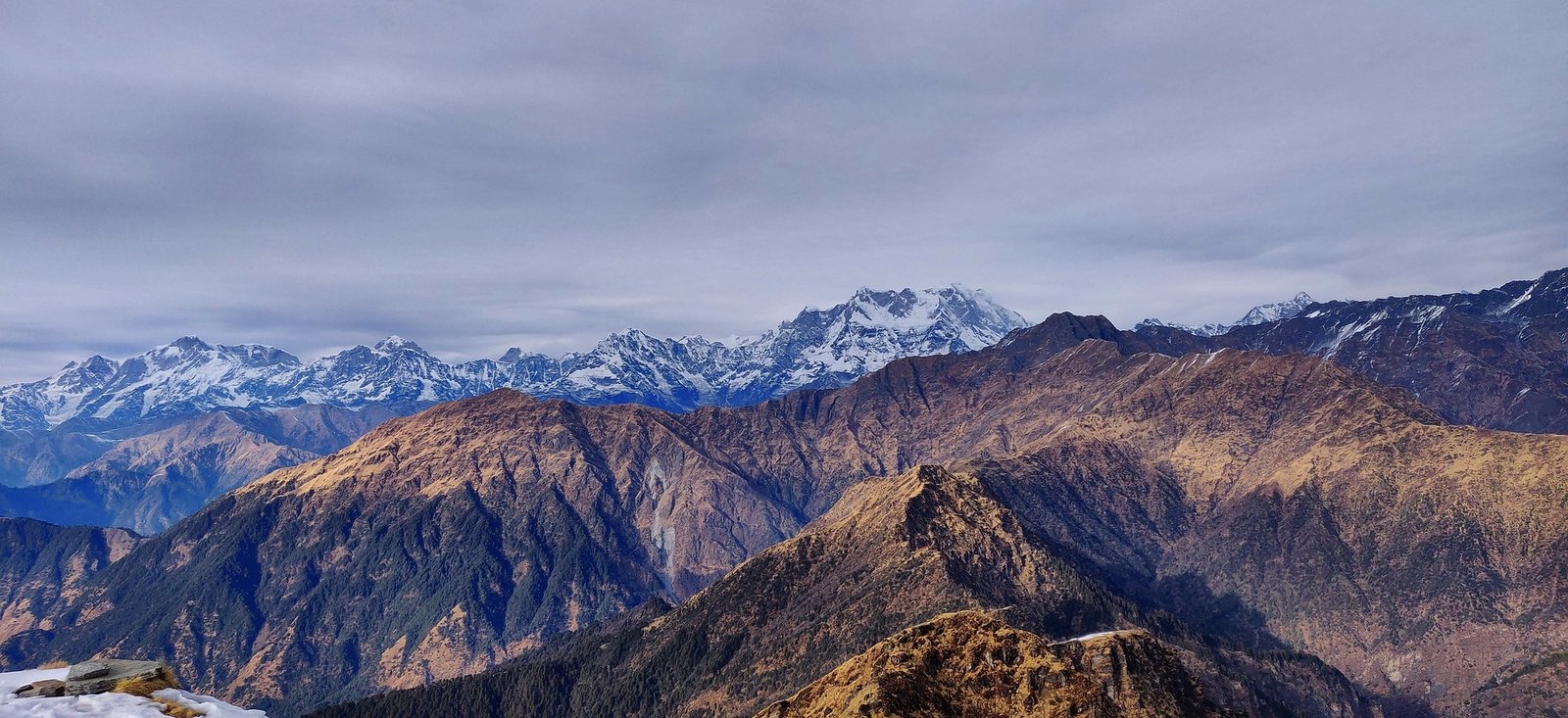
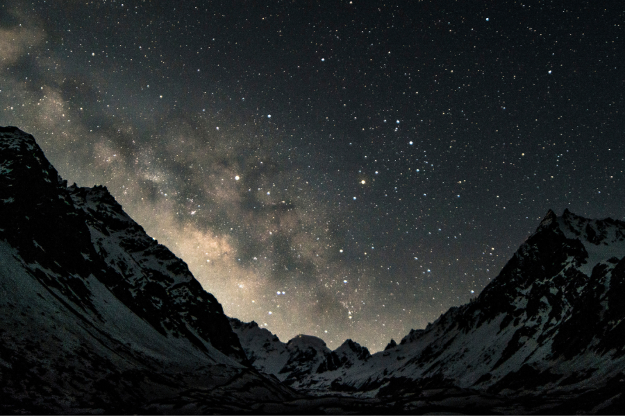
The campsite at Kedar Kharak opens into a broad alpine meadow offering jaw-dropping views of Bhrigupanth Peak (6,772 m) and Thalay Sagar glowing golden during sunset.
Story Element: Locals say this is the ground where Lord Shiva meditated, watched only by the stars and guarded by snow lions.
Trek Distance: 12 km (round trip)
Trek Duration: 7–8 hours
Elevation Gain: ~500 meters
Terrain: Glacial moraines, boulder fields, altitude zones
Stay: Return to Kedar Kharak for overnight stay
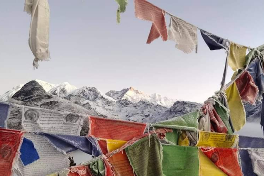
This is the most exhilarating day of the trek. You start early to reach the lake before noon. The trail ascends over loose boulders, glacial scree, and icy patches. Every step challenges your stamina and balance. But as you reach the ridge, you are rewarded with the stunning sight of Kedar Tal—a high-altitude lake shimmering like polished obsidian under the sun.
The mirror-like surface reflects the mighty Thalay Sagar, creating a surreal illusion of two worlds—sky and water—merging into one. You may hear the occasional cracking of a distant glacier or the flap of a vulture's wings. It’s sacred, still, and deeply humbling.
Important Note: Spend limited time at the lake to avoid AMS. Return before evening cold sets in.
Trek Distance: 13 km
Duration: 6–7 hours
Terrain: Descending trail with forest paths and boulder navigation
Stay: Hotel in Gangotri
With your heart full of reverence and memory cards full of magic, you begin your descent. Descending is quicker but demands caution. You retrace through meadows, rhododendron patches, and finally the birch forests. Each step now carries a sense of completion.
Once at Gangotri, a hot meal and temple bells await. End your trek with a visit to Pandav Gufa or soak your tired feet in the icy Bhagirathi.
Distance: 270 km
Drive Time: 9–10 hours
As you descend back to the plains, your body feels exhausted but your spirit deeply nourished. You leave with more than photographs—you leave with inner stillness, strength, and stories to tell.
It is considered a moderate to difficult trek due to steep ascents, high altitude, and long walking days.
You should be able to walk 8–10 km daily with a backpack, and your cardio endurance should be high. Regular running, hiking, and strength training are advised before the trek.
Yes, some prior high-altitude trekking experience and good physical fitness are recommended.
Pre-Monsoon (May–June): Clear trails, fewer crowds, snow at higher camps.
Post-Monsoon (Sept–Oct): Crisp air, vibrant meadows, better visibility of peaks.
Avoid the monsoon season (July–August) due to landslides and slippery conditions.
Typically, the trek takes 6–7 days, depending on the itinerary and weather conditions.
It is located in Uttarkashi district of Uttarakhand, India.
Yes, if you're trekking with an organized group or agency, nutritious meals (veg) are usually provided. At Mountbuzz, we provide 4 times vegetarian meals with Daal and Vegetable dishes that changes it's type everyday, along with Soups, and sweet dishes everyday.
There is no network coverage on most of the trek. BSNL may work in Kafnu.
It’s not advisable to trek solo due to the remoteness, river crossings, glacier sections, and lack of mobile connectivity. Trekking with a group or guide is safer.
Member Since 2023
jzyfsh